



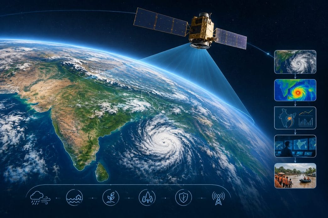
India’s newest Earth-observation satellite is not merely another spacecraft in orbit. It represents a shift from occasionally looking at Earth to persistently watching it.
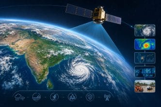
On September 4, 2026, India put another eye in the sky. The Indian Space Research Organisation’s GSLV-F17 successfully launched EOS-05, a 2,367-kg Earth-observation satellite, from Sriharikota and placed it into a sub-geosynchronous transfer orbit. From there, EOS-05 is designed to manoeuvre into its operational geosynchronous orbit, roughly 36,000 km above Earth.
And that altitude is what makes this story stand out. Reaching that height marks only the first phase of the journey EOS-05, as it begins its explorations.
From a camera that passes by to an eye that keeps watching
Most Earth-imaging satellites operate in relatively low orbits. They race around Earth, passing over a particular region periodically. They can capture extraordinarily detailed images but they see a particular location only when they pass overhead.
EOS-05 takes a fundamentally different approach. From geosynchronous orbit, a satellite travels around Earth at approximately the same rotational period as the planet. Properly positioned, it can remain over broadly the same region and repeatedly observe it.
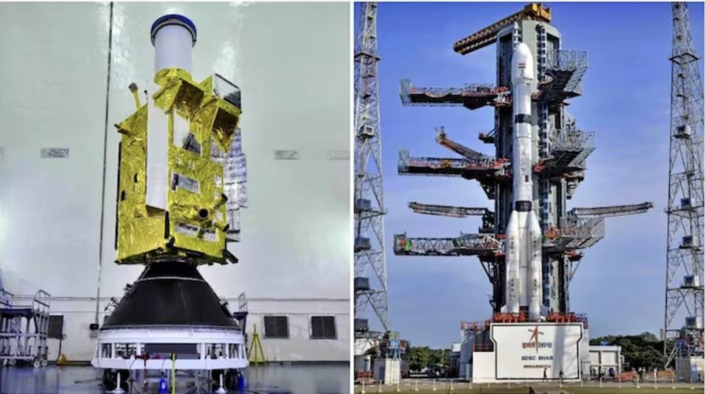
Think of the difference between a photographer walking past your house once every few hours and a security camera mounted above the neighbourhood. The first gives you snapshots, the second gives you persistence. That is the strategic significance of EOS-05.
Why does India need an eye that doesn’t blink?
Because many events on Earth don’t wait for a satellite to come around.
A cyclone can intensify rapidly, a flood can spread within hour, a forest fire can change direction, weather stress can damage a crop, border tensions can escalate quickly. For such situations, the value of satellite imagery isn’t simply resolution, but the ability to observe for such changes continuously.
EOS-05 is designed to provide persistent observation of the Indian region, supporting applications ranging from weather and disaster management to agriculture, forestry and strategic monitoring. That changes the equation. While seeing Earth is useful, monitoring it continuously is powerful.
But India isn’t the first to do this
This is where some headlines can become misleading. India has not invented geostationary Earth imaging with EOS-05. The United States has operated its GOES series of geostationary weather satellites. Japan has its Himawari satellites. China operates the Fengyun series. South Korea operates the GEO-KOMPSAT series, while Europe’s Meteosat programme has provided decades of geostationary Earth observation. These spacecraft routinely watch enormous portions of Earth from geostationary orbit, particularly for weather and environmental monitoring.
So India’s achievement is better understood as joining an exclusive technological club rather than creating the club itself. And that distinction actually makes the story more interesting. India is catching up in a capability that matters enormously in the modern information age.
The Hidden Star: GSLV
There is another story riding underneath EOS-05. The satellite needed a launch vehicle capable of delivering a heavy payload towards a high-energy orbit. Enter GSLV-F17. The mission is particularly important for India’s Geosynchronous Satellite Launch Vehicle programme because GSLV has had a more difficult history than India’s famously reliable PSLV.
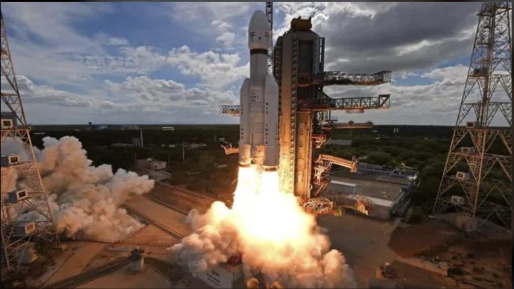
The successful mission therefore represents not merely the delivery of a satellite but another confidence-building step for India’s indigenous cryogenic launch capability. In other words, EOS-05 is the payload and GSLV is part of the achievement.
And together they demonstrate something India has been steadily building for years. A capability to launch increasingly sophisticated and heavier spacecraft into demanding orbits using indigenous technology.
The really interesting part comes after the satellite
There is a tendency to think of a satellite as the end product. It isn’t. The satellite is merely the sensor. The real value begins when its observations become data and when that data is converted into information.
Imagine EOS-05 observing a cyclone. Raw imagery tells us where the storm is, AI can analyse its movement, and weather models can predict where it may go. Following this information government agencies can identify vulnerable districts, emergency services can prepare and citizens can be warned.
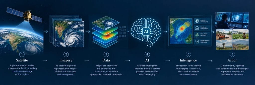
And this is where India’s space story begins to intersect with its artificial-intelligence story. The next frontier of space power will not be decided merely by who can put satellites into orbit. It will increasingly be decided by who can extract intelligence from the data those satellites generate.
There is also a strategic dimension
A satellite 36,000 km above Earth isn’t a substitute for India’s lower-orbit, high-resolution reconnaissance satellites. It serves a different purpose. Low-Earth-orbit satellites can provide much finer detail but revisit locations periodically. A geosynchronous platform sacrifices some of that proximity in exchange for persistence and a much broader field of view.
That makes the two approaches complementary. One is like a telephoto lens, while the other is like a wide-angle surveillance camera. For a country with long land borders, a vast coastline, a monsoon-dependent economy and increasing exposure to climate-related disasters, having both kinds of eyes matters. EOS-05, therefore, adds another layer to India’s growing space-based situational awareness.
From looking at space to looking from space
There is a larger transformation taking place here. India’s space programme began with an almost philosophical objective: use space technology for national development. Today, those same capabilities are becoming components of something much larger.
Space infrastructure is becoming national infrastructure. Satellites support telecommunications, navigation, weather forecasting, agriculture, financial systems, defence, disaster response and increasingly commercial services. EOS-05 fits neatly into this transition.It represents another important step in India’s evolution from a country that uses space technology to one that increasingly possesses the technological architecture to shape its own space-based information environment.
The eye is only the beginning
The most important question about EOS-05 is therefore not: “What pictures will India get from 36,000 km above Earth?
It is: “What will India do with what that eye sees?”
Because the future belongs not merely to the country with the best sensors. It belongs to the country that can connect those sensors to AI, analytics, communications, decision-making and action. EOS-05 gives India another eye.
The real challenge now is to build the brain behind it. That is where India’s next space race will be fought.